SatFish is the all-in-one map resource to put you right in the zone to catch offshore fish species like tuna, marlin, mahi/dorado, and wahoo. We make it easy to find the most productive fishing grounds for your next trip, with our high-def satellite sea surface temperature (SST) and water color / chlorophyll maps right on top of detailed bathymetry and fishing hot spots, plus wind forecasts, currents, and more. Drive right to the bite zone instead of wasting time and fuel searching through empty, lifeless water.
Use SatFish to find offshore game fish in four easy steps:
- Log in to your SatFish account and pick out your region;
- Find temperature breaks and plankton blooms to point the way to gamefish;
- Map out your route and pick the best weather day for your trip; and
- Load up the maps into the mobile app to bring out on the water with you while you’re on the hunt!
1. Load up your SatFish region
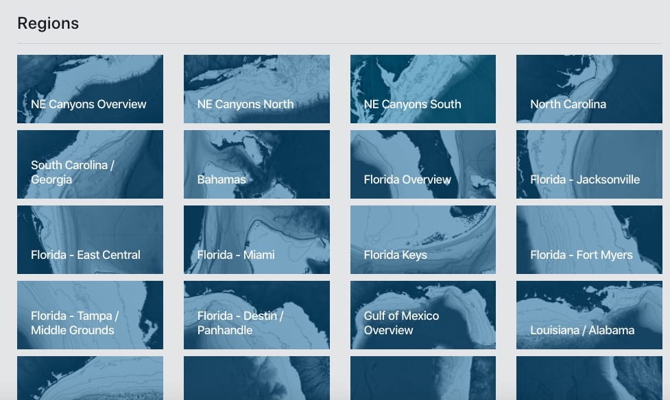
Sign up and log in to your SatFish account from your computer or mobile device. Pick your region where you’re going fishing, and the map will load up with detailed bottom topography, depth contours, labelled fishing hot spots, along with the latest sea surface temperature image.
2. Temperature breaks and plankton blooms point to gamefish
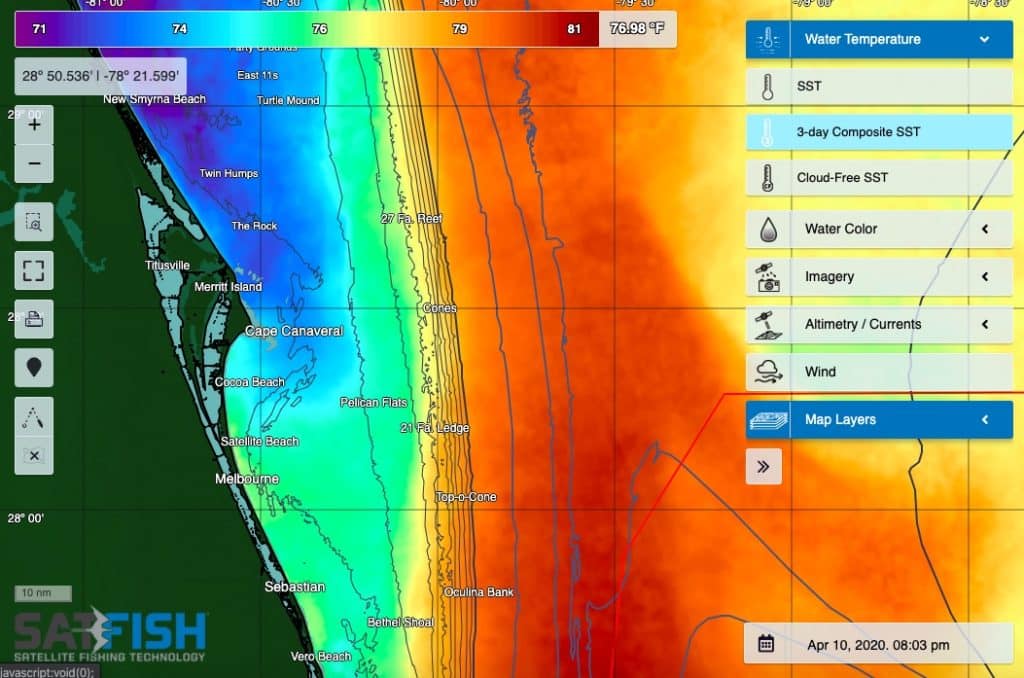
You can use the main menu on the right side of the map to view different data layers on the map. Our cloud-free SST and multi-day composites are great for getting a “big picture” view of where the water temps are right for the species you’re targeting, even when it’s cloudy and standard SST shots are blank. You can also view water color charts to find the plankton blooms and color breaks where gamefish patrol for baitfish.
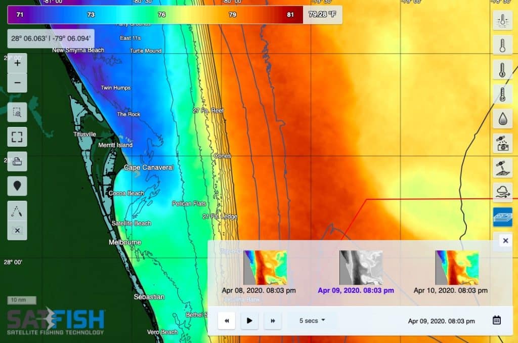
You can also go back in time using the calendar icon in the bottom right corner to view images from the latest week’s worth of shots. With our animation tool, it’s easy to see how the temp and color breaks move around from day to day, which even helps you predict where the breaks and fish might be tomorrow when you’re out on the water.
3. Map out your route and pick your day
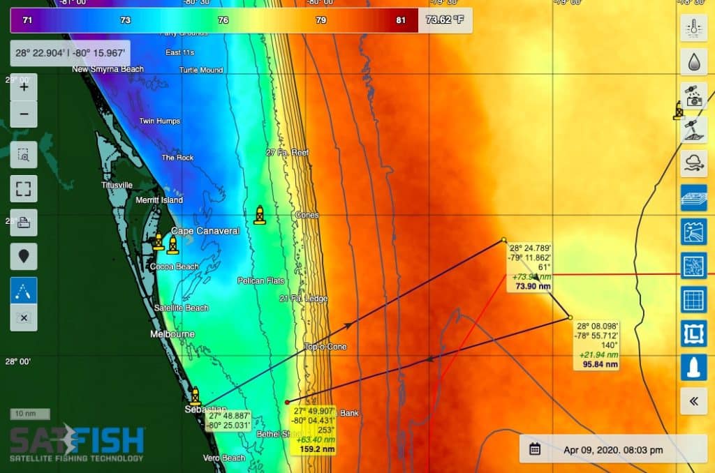
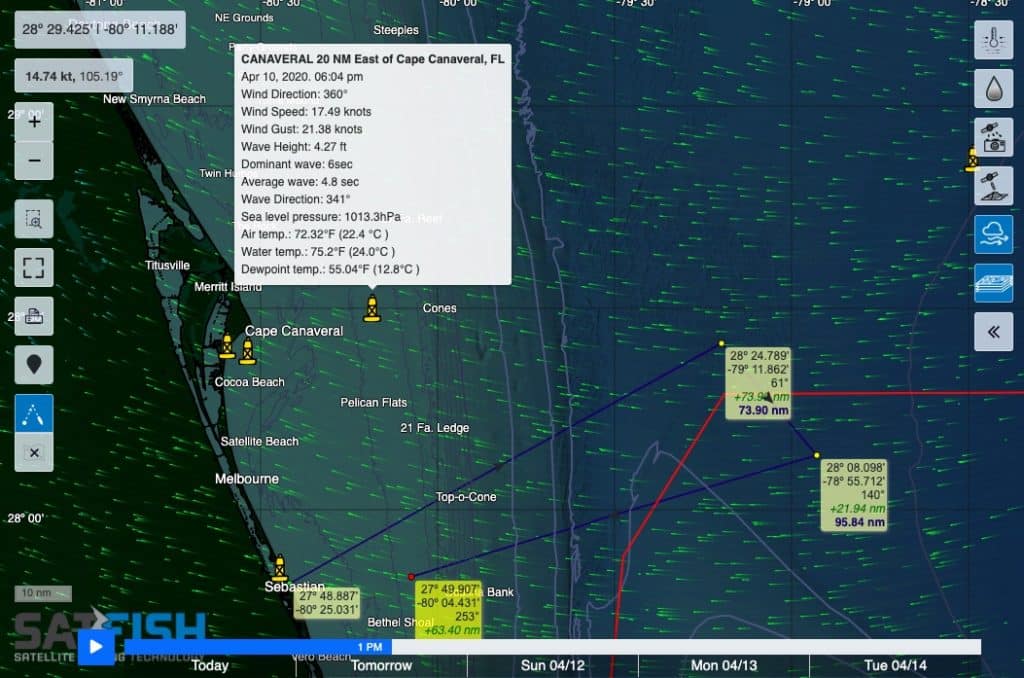
Once you’ve got your target area picked out, you can map out your trip with our route planning tool. Click the map to add waypoints and see how far it is from your home port to your target area, and from spot to spot as you search around offshore.
Plus, our 5-day wind forecast layer helps you pick the day with the best conditions for your upcoming trip. Mother nature doesn’t always cooperate with your free time, but our forecast will help you plan out your time off to take advantage of the best weather window and make the best out of your fishing trip.
4. Use the SatFish mobile app to stay up-to-date and on the fish while you’re on the water
You can also pull up SatFish on your phone or tablet with our mobile app. The great thing about the app is that it lets you take SatFish with you offshore, even when you lose internet or wifi coverage.
Just open your region in the mobile app while you’re at the dock and still have service. All the layers you look at will automatically save to your device, so you’ll be able to view them while you’re running around offshore with your device offline and in airplane mode. With the latest maps saved to your device, you’ll be able to stay right on your target temperature and chlorophyll breaks even if they’ve moved several miles overnight.
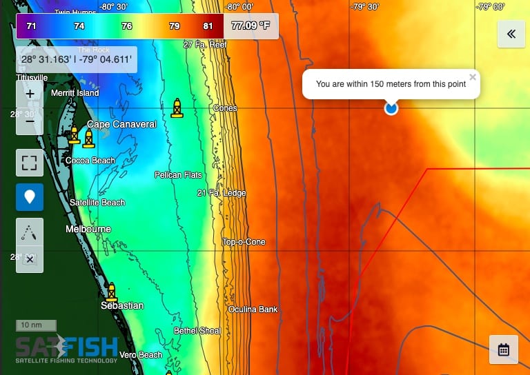
Plus, if your device is GPS-enabled, you can display your boat’s location right on the SatFish chart while you’re offshore and offline! This feature is great for showing you when it’s time to slow down and drop the jigs back as you approach that juicy temperature or color break.
With SatFish, you can read the water like the pros to stay ahead of the fleet and be the first to find the hot bite. The only thing left is to get some baits and jigs in the water and hold on tight!
