In offshore waters it’s not all about ledges, drop-offs, and wrecks.
Offshore, structure is a very different thing than it is inshore. Most of us know to look for three key elements: flotsam, temperature breaks, and bathymetric anomalies and changes. Is there also a fourth you should be on the lookout for? Some savvy anglers say chlorophyll can be key.
FLOTSAM
You know it and you love it—any floating debris counts, but we’re not talking about your granddaughter’s balloon that flew away last week. Size matters, people, as well as how long it’s been in the water. Flotsam is like fine wine; the older it is and the more you have, the better. Small pieces of floating driftwood or a sprig of weed usually won’t hold fish, but anything larger than the size of a five-gallon bucket could be your saving grace on a tough day. If you find something you think could hold fish, either troll around it or approach slowly and toss out some chunks of bait to see if anyone’s home. Do your best not to shift in and out of gear near flotsam. The clunking of gears as you shift is one of the easiest ways to spook a school of wary fish.
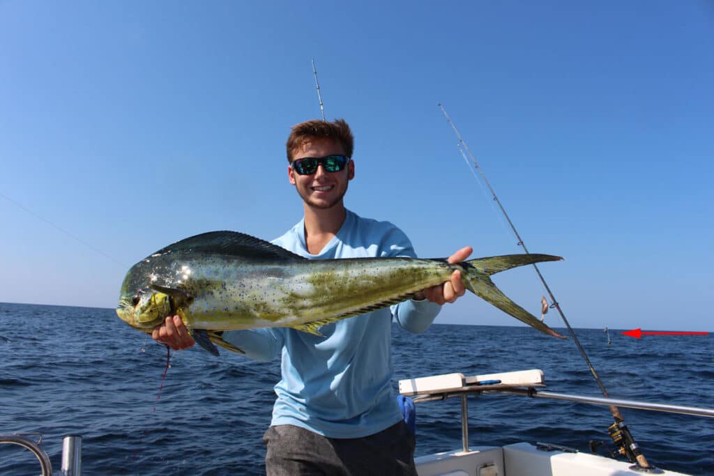
Any commercial gear floating on the surface, no matter how small, can hold fish.
Commercial gear isn’t technically considered flotsam but trust me, the fish don’t care and when you spot those big floats it’s always worth a stop. Not only are fish like mahi attracted by the floating non-flotsam, often the presence of this gear is an indication of productive structure on the bottom. Marking these areas in your chartplotter to return to in the future is a wise move, because the commercial guys do move that stuff around.
TEMPERATURE BREAKS
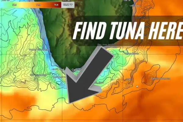
When some of us old geezers were offshore fishing back in the dark ages, finding temperature breaks wasn’t so simple. There was much less data available, and a whole lot more running blind. Nowadays, locating temperature breaks on the surface is as simple as heading to Satfish.com and taking a look at the map before setting the autopilot and sitting back to watch the sunrise. This is also a handy tool for knowing how far you need to run to hit warmer water species. Temperature breaks often lead to a congregation of baitfish, and hopefully next week’s dinner.
While random temperature breaks can be productive, keep an eye out for them intersecting with other productive structures like lumps on the bottom and along canyons edges. Many anglers use them as a signal to pull back the throttles and start looking once they’ve reached their target area. Keep an eye out for thermoclines (horizontal temperature breaks underwater) on the electronics as well, because fish will often hang just above or just below them. These are commonly seen as a soft return in a more or less straight line on fish finders.
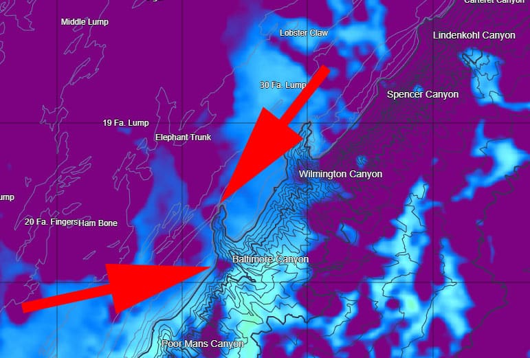
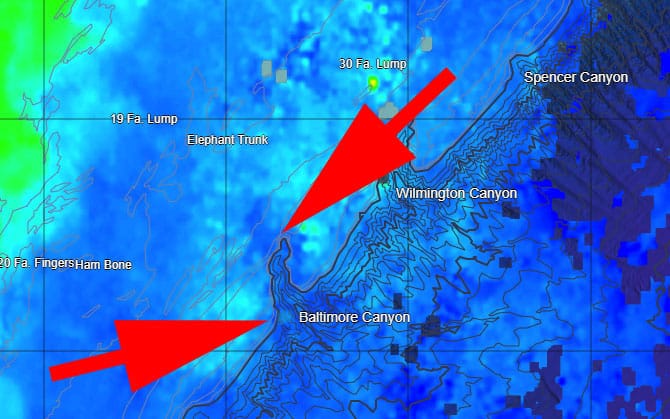
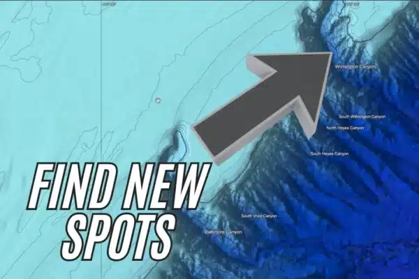
Temp breaks intersect with Baltimore Canyon for a combined bathymetric/temperature change in multiple areas, as seen on this screen shot from Satfish
BATHYMETRIC ANOMALIES
Anglers have been using bathymetric changes to locate and identify fishing grounds ever since the dawn of oceanography, and if it ain’t broke don’t fix it. Luckily, we live in an age of electronic navigation charts and don’t have to rely on soundings measured with a long piece of rope tied to a rock—today’s charts are amazingly accurate and detailed.
Bathymetric changes can be a number of different things, but put simply it means changes in the seafloor. The continental shelf, offshore canyons, seamounts, any kind of distinct ledge or hump, those spots you see on the chart and think “that looks fishy” are all the product of distinct bathymetric changes.
CHLOROPHYLL
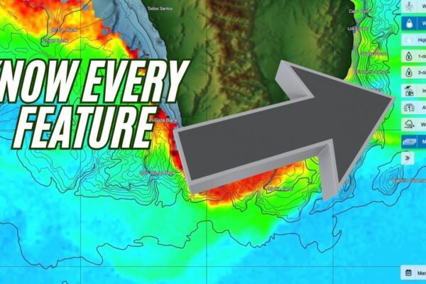
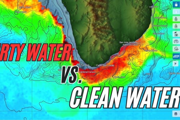
You’ve probably been wondering why we care about chlorophyll, and if you haven’t had a science lesson in the last 30 years, you may be wondering what the heck it even is. Chlorophyll is the compound in plants and phytoplankton that is responsible for their green color and aids in the process of photosynthesis. Lucky for us, it can be picked up on satellite and displayed on Satfish’s high-def charts.
Now, we look at chlorophyll and see, again, intersection in these different forms of structure—lay in the waypoint.
Now that we’ve got the boring stuff out of the way, let’s talk about how you can use this to catch more fish. Since chlorophyll is present in plankton, tracking levels on the surface can be used to indicate where blooms are present. Baitfish dine on these plankton, and the gamefish we seek follow suit. The more chlorophyll that’s present in one area, the higher the energy available for larger consumers. But there’s a potential downside: high levels of plankton can cloud the water and change its color.
Much like temp breaks, the key to utilizing chlorophyll data isn’t finding the heaviest concentrations, it’s finding the areas with the most abrupt and significant change. This is where water boundaries collide and create—wait for it, wait for it—structure.
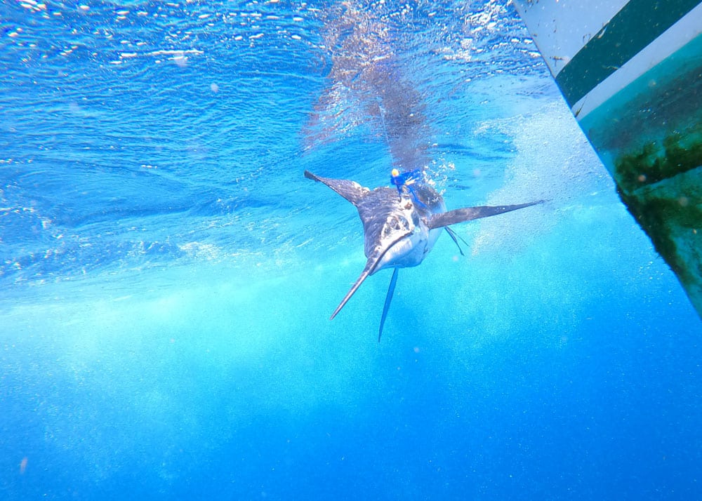
Marlin – More chlorophyll isn’t always better, especially when it comes to hunting fish that want water as clear as possible; look for the abrupt and significant changes, not necessarily the concentrations.
Quite often chlorophyll and temperature barriers will be related, shadowing one another or sharing the same basic outlines. This is again because of a boundary where different water bodies are colliding. But sometimes you’ll note a notch, swirl, or outcropping in either the temps or the chlorophyll. This is yet another anomaly to look for, and yet another form of structure. And when you find a temp break and a chlorophyll break intersecting with some form of anomaly and that structure happens to intersect with bathymetric structure, you know it’s time to set that waypoint, turn on the autopilot, and sit back to watch the sunrise.

