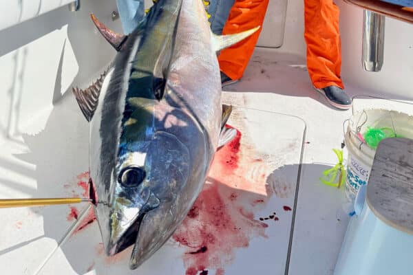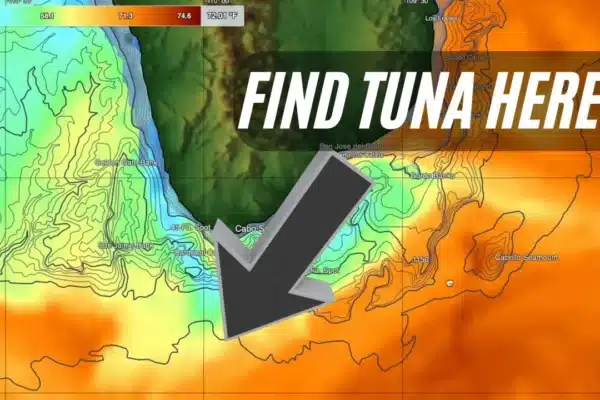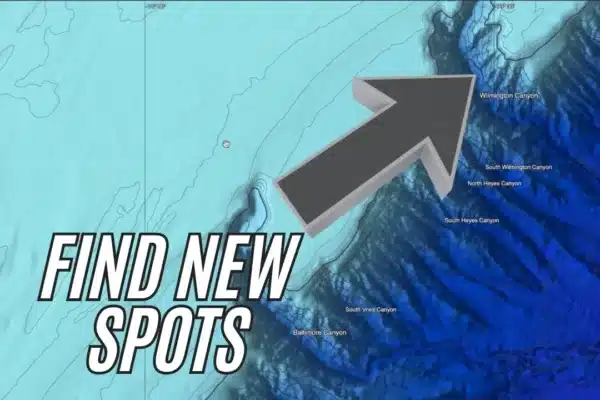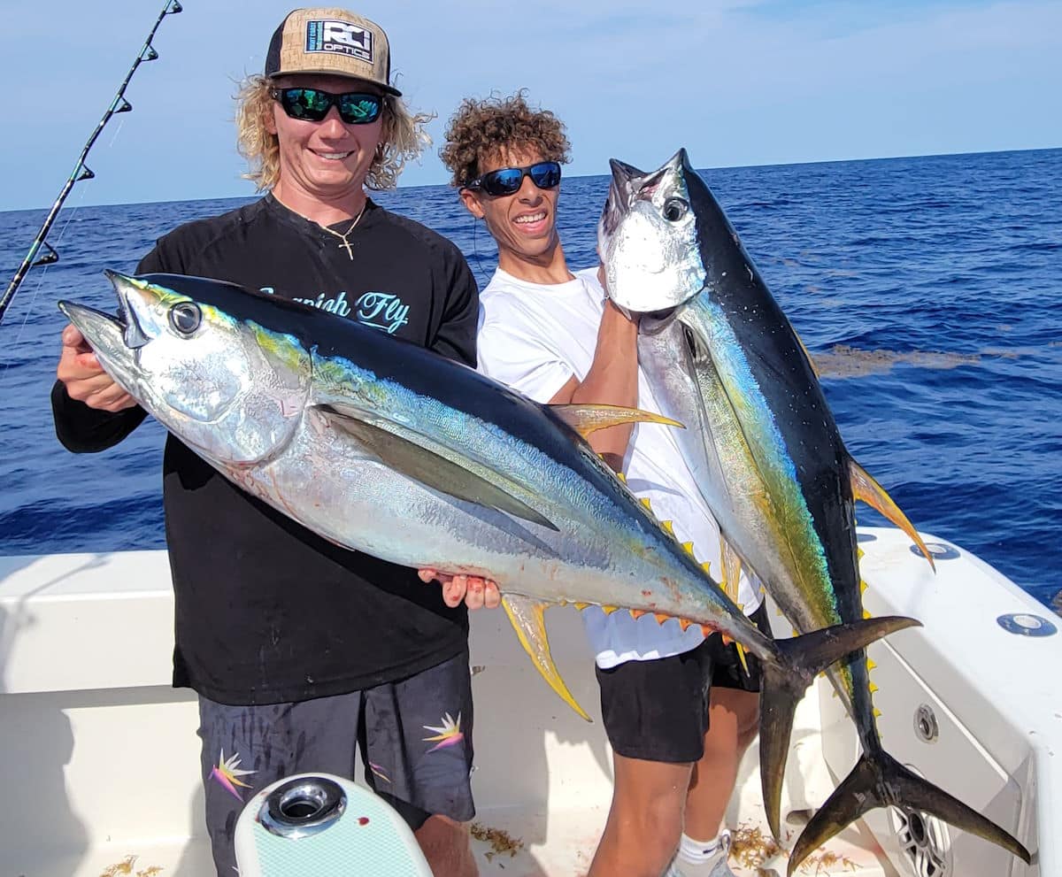
Tuna fishing may not be the first thing that comes to mind for Florida’s East Coast, but just across the Gulf Stream the “otherside” is home to productive offshore grounds for yellowfin tuna, blackfin tuna, and skipjack. Fishing out of Central Florida’s ports, anglers pursue yellowfin tuna from April to September by chasing bird packs in the slightly cooler waters beyond the warm currents of the Gulf Stream.
The Gulf Stream flows northward up the coast, and out of Port Canaveral it is typically found about 30 miles offshore. The “Stream” is normally about 50 miles wide on average making the “otherside” a hefty 80-mile run. The tuna feed and roam along the eastern edge where the water, while still warm, is slightly cooler than the Gulf Stream itself. This is where tuna anglers “run and gun” searching for the roaming schools which normally are on the move.
Planning your trip to find yellowfin tuna
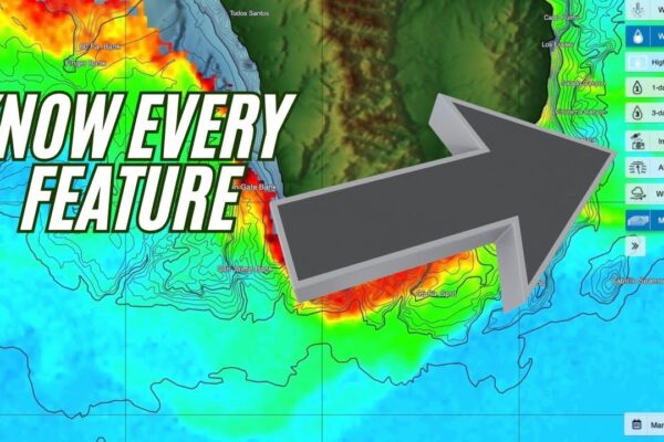
“Tuna fishing on the far side of the Gulf Stream is one of the most random fisheries I’ve experienced,” says Capt. Scott Goodwin from Marker 24 Marina in Port Canaveral. “The key is covering ground and using your vessel’s radar to cut a wide swath looking for the birds that feed over the tuna. There is so much ground to cover that tapping the advances in technology is a huge advantage in finding fish and saving fuel. I take full advantage of SatFish to give us a bird’s eye view from space at the variations and temperature patterns on the tuna grounds.”
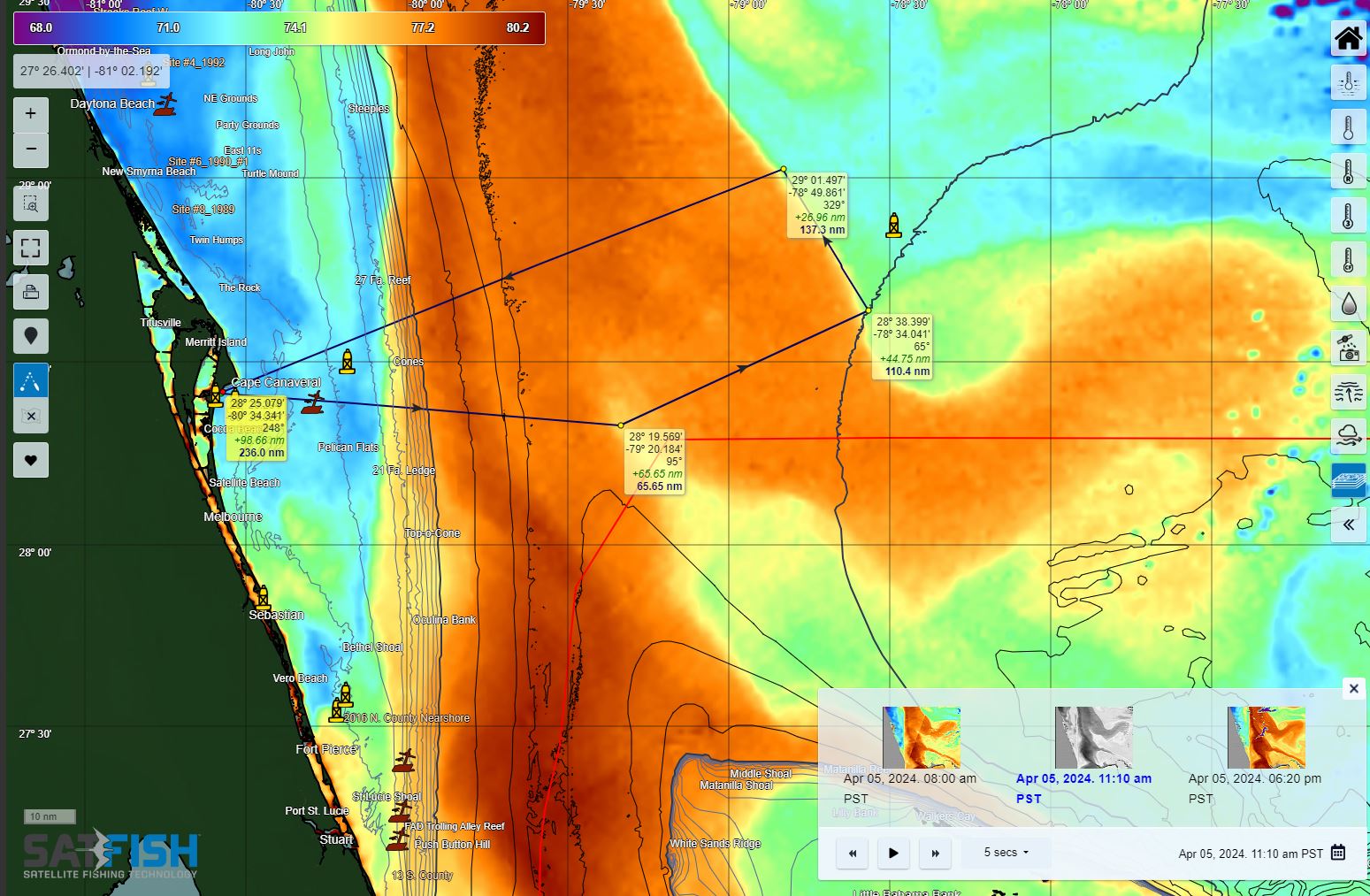
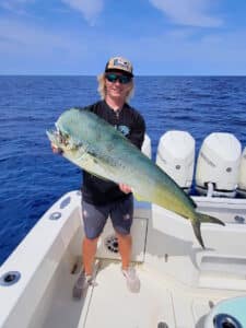
“There are several things I’m looking to locate. I want to know the general distance to both the western and eastern edges of the stream. Both of these may offer hard current edges or weedlines that offer a “plan B” of dolphin fishing or general trolling in the event that “plan A tuna fishing” isn’t happening.”
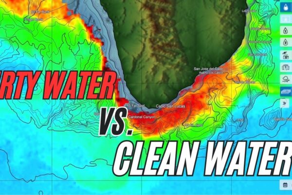
“I’m also looking for the position of eddies or bulges in the warm water. For example, if I’m trying to decide what angle to take for the day, it is often determined by the location of the cooler water closest to land. Without the benefit of satellite sst charts, you could be running in a bulge of warm water for well over a hundred miles while your buddy north or south of you found the break at 75 miles and is already marking birds and tuna,” says Capt. Scott.
Staying in the tuna zone
With your general heading and route planned out, once you “pop out of the hot water on the otherside” and locate some good bird life or breaking fish, SatFish will also help you stay in the zone by showing where conditions are similar to those where you’ve found birds and tuna. While it’s usually not a great idea to “leave fish to find fish,” when the action slows down or if the tuna just don’t want to cooperate you may just need to find a new zone with more willing fish.
You can track your location on the SatFish mobile app (even without cell service) using your phone’s built-in GPS and easily see how the local conditions where you found the action show up on SatFish’s temperature and chlorophyll charts. Then, all you need to do is stick to areas where the water temp and color – or proximity to any abrupt changes or breaks – are roughly the same. You can eliminate hundreds of square miles of search area this way and focus in on the good productive grounds for the day, boosting your odds of scoring big.
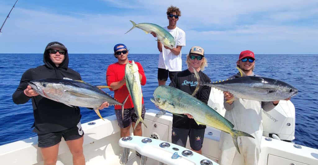
“We recently did an early-season tuna trip to test the waters,” Capt. Scott continues. A few reports of yellowfin success had trickled in and we got set to make the run. We plotted some points on the charts and unlike later in the summer, we found the Stream to be 77 degrees and the “otherside” was 73. The activity that we found was in the warmer water near the edge of the stream. The 73-degree water seemed lifeless. This is the opposite of the rest of the season where the stream is boiling hot and the tuna find relief in slightly cooler water. But the same benefit of knowing where to find the proper temperature makes all the difference in your day. The clock ticks faster when you’re fishing and the fuel gauge is dropping, so any technological advantage we can utilize is a must-have.”

