Hawaii Overview

SatFish’s Hawaii offshore fishing maps help anglers find marlin, mahi, ahi, ono, and more. Our high-resolution bathymetry maps are labeled with fish aggregation device (FAD) buoy locations and local waypoints and hot spots, making it easy to plan out your day on the water.
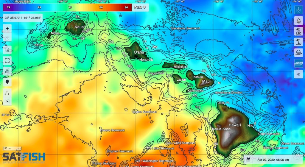
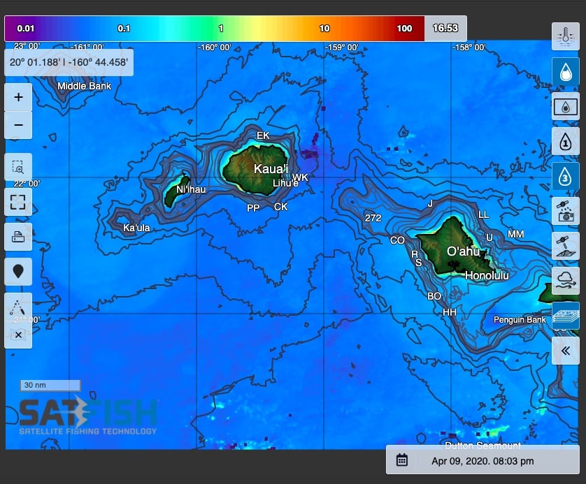
Our sea surface temperature (SST) and chlorophyll maps point out where subtle changes in water color and temperature hold bait, with bigger gamefish not far behind. When you see one of these edges push in to your local FAD or along the 40 fathom curve, it’s game time.
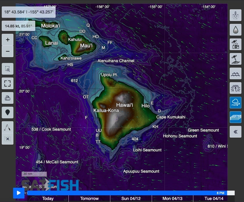
SatFish also has the latest 5-day wind forecasts and weather buoy data so you can pick the best weather window when the trade winds relax or change direction just enough to let you get to your favorite spot.
To zoom in closer to your island for a better view at the local reef structure and dropoffs, check out one of our maps below:
Oahu / Kauai

SatFish’s Oahu / Kauai fishing chart covers O’ahu, Kaua’i, Ni’ihau, Ka’ula and the west end of Molokai and the Penguin Bank.
Maui / Big Island

SatFish’s Maui / Big Island fishing chart covers Maui, Molokai, Lanai, Kaho’olawe and the big island of Hawai’i, including both Kailuna-Kona and Hilo and down to South Point.
