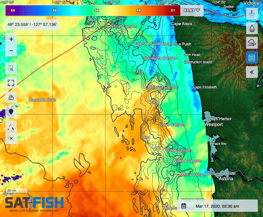
SatFish’s Washington offshore fishing map is a critical tool to locate the offshore sea surface temperature (SST) and water color (chlorophyll) breaks vital for finding and catching albacore. Even when it’s cloudy, our cloud-free SST and 1- and 3-day composites will still point you to the right general area to look for life and tuna. Plus, our 5-day wind forecast helps you pick out the right window to make your run offshore.
Our Washington fishing chart covers the entire state of Washington and the northern part of Oregon to provide complete coverage of the offshore grounds from Neah Bay and La Push to Westport and Ilwaco.
