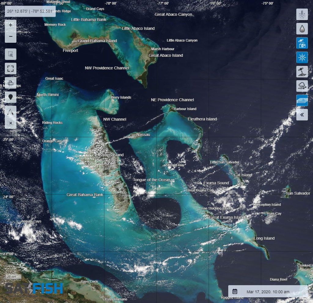
The Satfish True Color satellite image displays a current satellite photo of the local fishing areas. By studying this true-color image of the fishing grounds, you can see the actual water color breaks around the islands, offshore current breaks, rivers outflow and land-based run off. Some of the subtle differences seen in these true-color satellite imagery charts are accentuated and enhanced in our sea surface chlorophyll concentration charts.
☰

